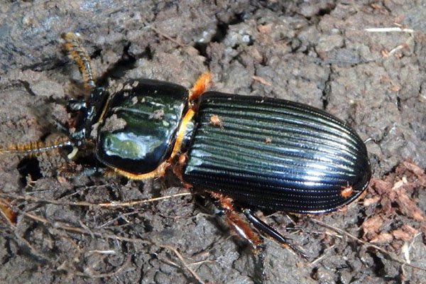
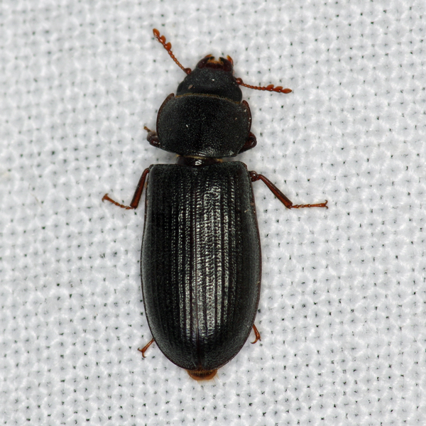
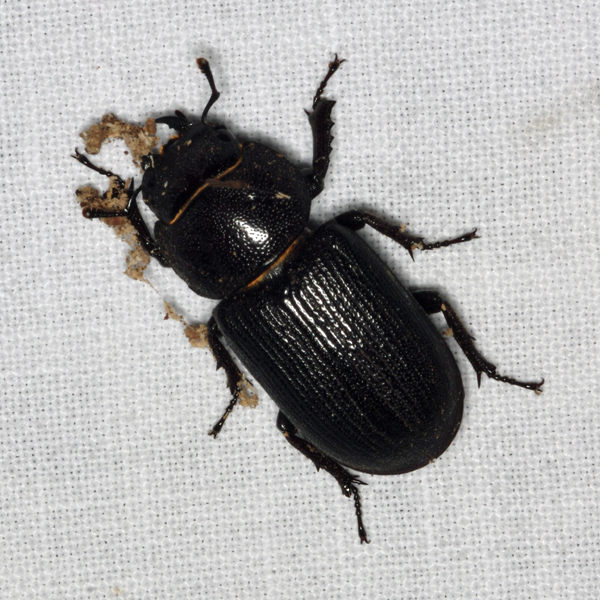
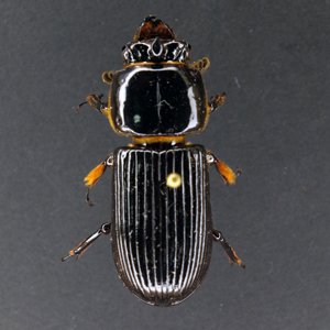
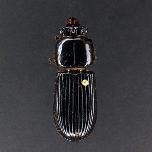
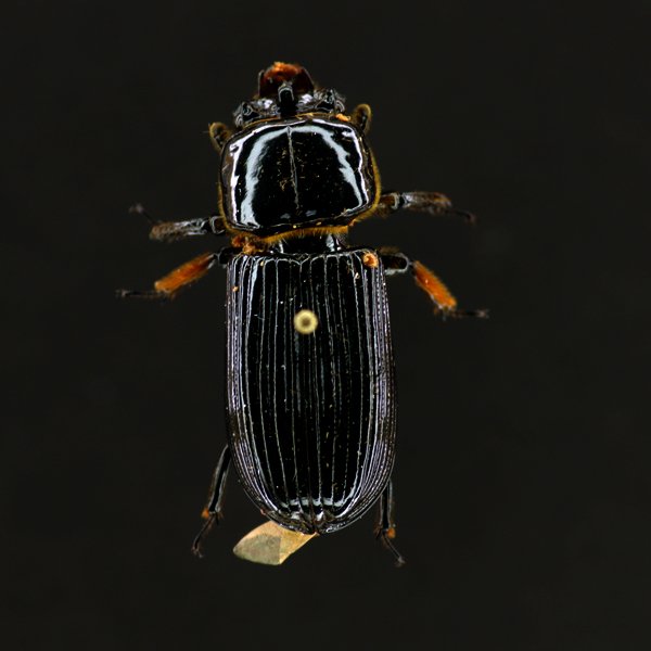
None (Odontotaenius disjunctus) - 317.070000


Photos


Records
| Record # | Date | Locale | State | Lat/Lon | Collected By | Count |
|---|---|---|---|---|---|---|
 314816 314816
|
2022-05-17 | Red Cedar Wildlife Area | Iowa | 41.458845 -91.261853 | Mark Brown | 1 |
 282256 282256
|
2020-08-06 | Sugar Bottom Recreational Area | Iowa | 41.761001 -91.55635 | Mark Brown | 1 |
 168734 168734
|
2016-06-05 | Vecny Woods | Iowa | 41.956725 -91.600854 | Jim Durbin | 1 |
 128096 128096
|
2015-07-16 | Matsell Bridge Natural Area | Iowa | 42.131959 -91.388307 | Jim Durbin | 1 |
 38148 38148
|
2010-05-01 | Ohio County, Kentucky | Kentucky | Location Protected | Jourdan Yeckering | 1 |
 38149 38149
|
2010-05-01 | Ohio County, Kentucky | Kentucky | Location Protected | Jourdan Yeckering | 1 |
 38150 38150
|
2010-05-01 | Ohio County, Kentucky | Kentucky | Location Protected | Jourdan Yeckering | 1 |
 10961 10961
|
2009-06-12 | Leon's Farm, Ohio County | Kentucky | 37.42033 -86.77023 | Jim Durbin | 1 |
 10962 10962
|
2009-06-12 | Leon's Farm, Ohio County | Kentucky | 37.42033 -86.77023 | Jim Durbin | 1 |
 10963 10963
|
2009-06-12 | Leon's Farm, Ohio County | Kentucky | 37.42033 -86.77023 | Jim Durbin | 1 |
 38146 38146
|
2005-06-06 | Leon's Farm, Ohio County | Kentucky | 37.42033 -86.77023 | Jim Durbin | 1 |
 38147 38147
|
2005-06-06 | Leon's Farm, Ohio County | Kentucky | 37.42033 -86.77023 | Jim Durbin | 1 |